People

Indigenous People
Lake Kashagawigamog (an Anishnaabeg name meaning “lake of long and winding waters”) has historical significance as the site of the final and deciding battle in the defeat of the Mohawks in the area. The battles, which took place between 1718 and 1740, were between the Mississauga and the Mohawk to reclaim territorial rights belonging to the Mississauga that were taken by the advancing Mohawks. It is thought that Puffer Island was the headquarters of Mississauga Native chiefs for these wars. (Fragments of a Dream – Pioneering in Dysart Township and Haliburton Village, Leopoldaz L. Dobrzensky, 1985, Heritage Publications, Peterborough, Ontario)
In November 1818, in the “spirit of sharing the land”, the Mississauga First Nation and the British Crown signed Treaty 19 encompassing a large swath of territory that included Haliburton County. The treaty was signed by four Chiefs, one being Chief Yellowhead who helped early settlers survive in Haliburton, and who was also a warrior in the Mackenzie rebellion of 1837.
It is said that within ten days of signing the treaty, the Chiefs realized their error as they noted: “the settlers were abusing its terms by disrespecting the natural resources, raping Native women and children, rampantly killing animals, and restricting or prohibiting outright the Natives’ use of land.”
In response to these complaints, the Queen’s representatives rounded up local Indigenous peoples moving them to reserve lands. Another round-up occurred in 1923 under the terms of the Williams Treaty which not only relocated any remaining Indigenous peoples but also effectively removed their hunting and fishing rights in the area.
Whereas the first settlers to Haliburton in 1864-65 noted Indigenous peoples camping on the shores of Head Lake, by the late 1920s only a few local Indigenous canoes were seen travelling the Lake Kashagawigamog waters. (In Quest of Yesterday, Lila Reynolds, Pub. The Provisional County of Haliburton, Minden, Ontario, 1973)
According to a local expert, Tom Ballentine, rich ancient and prehistoric archaeological sites on Lake Kashagawigamog tend to be clustered around narrows and peninsulas. Because of the early wars between First Nations, the shores of Lake Kashagawigamog have many sites where arrowheads and artifacts have been found. The locations of these sites are considered sensitive information by archaeologists and the Ministry of Culture and Tourism, so specific details and mapping are not readily available to the general public. (A Brief Survey of Archeology in Haliburton County and Vicinity: Observations and Comment, Tom Ballentine, Haliburton Museum)


Early Settlers
In 1859, the Department of Crown Lands in the Province of Canada advertised a block of land for sale, comprising the townships of Dysart, Dudley, Harcourt, Gilford, Harburn, Bruton, Havelock, Eyre, Clyde, and Longford. The purpose of these sales was to promote rapid settlement of the newly created townships in the district through private enterprise.
The Canadian Land and Emigration Company, formed in 1861, acquired vast tracts of land under its first chairman Thomas Chandler Haliburton. Special legislation was passed by the Legislative Assembly of the Province of Canada in 1865 to facilitate the company’s operations in the Province. Lengthy negotiations were carried on between the company and the Department of Crown Lands concerning the selection of townships and the terms of sale.
From the outset, the company had difficulty in selling the lands. The distance of the townships from the settled parts of the province, the absence of good roads, the rough nature of the country, the Civil War in the United States, Fenian raids on the border, the Long Depression of 1873–1879 and rival attractions of Western Canada, all combined to discourage sales. Nonetheless, from 1863 to 1870, a large number of emigrants came to settle in the region. By 1871, the company had sold 16,650 acres (67 km2) to settlers and a number of town lots to various purchasers.
While sales of land were not as profitable, the company had greater success in the sale of timber. In 1872, the company built a road between the villages of Kennaway and Haliburton and contributed to the cost of the connection of a telegraph line to Haliburton. In 1877, the company aided the construction of the Victoria Railway from Kinmount to Haliburton with the hopes of increasing settlement in the townships.
By 1883, the Province of Ontario had begun to open up neighbouring townships in Haliburton and Muskoka with offers of free land grants, and the company found settlers were even more reluctant to purchase Company lands. The company was unable to cope with this competition. As a result, it was decided to offer for sale its complete holdings and undertakings in Canada. On April 11, 1883, the company appointed W.H. Lockhart Gordon and James Moore Irwin to be its commissioners of affairs in the area. The company was involved in disputes with the Municipality of Dysart relating to valuations of its real and personal property, which led to a settlement in 1885 that was subsequently ratified by the Legislative Assembly of Ontario in 1887.
The company initiated winding-up proceedings in 1888, and was reincorporated by letters patent in Ontario as the Canadian Land and Immigration Company of Haliburton Limited in 1889. From 1890 to 1897 little activity took place. Sales of land and timber cutting rights had practically ceased. In 1895, Irwin declared bankruptcy and the bank (most likely the Canadian Bank of Commerce) took possession of his rights and interests in Haliburton, which included his shares in the new Company.
In 1922, the company sold Bruton Township to the Hydro-Electric Power Commission of Ontario for $225,000, and proceeds from the sale allowed the company to buy back from the bank the timber cutting rights previously licensed to Irwin. In 1933, the company sold Clyde Township back to the Province for $25,000.
During the Great Depression, lumbering activities ceased once again, and financial difficulties resulted in liens being placed against the company’s lands in Dysart. Lumbering enjoyed a revival in the Second World War years but, by the end of 1946, all of the land originally purchased by the company had been sold, the company wound up its affairs, surrendered its charter and ceased to exist.
The hundred years or so of early settlement in Haliburton did not result in large-scale agricultural or industrial development. However, as more roads were constructed to serve the few industries that were established and the settlements that had flourished, the region began to develop as a tourist and vacation area, and land sales began to increase.
Source: Various sources as referenced in Wikipedia
For More Information:

Our People
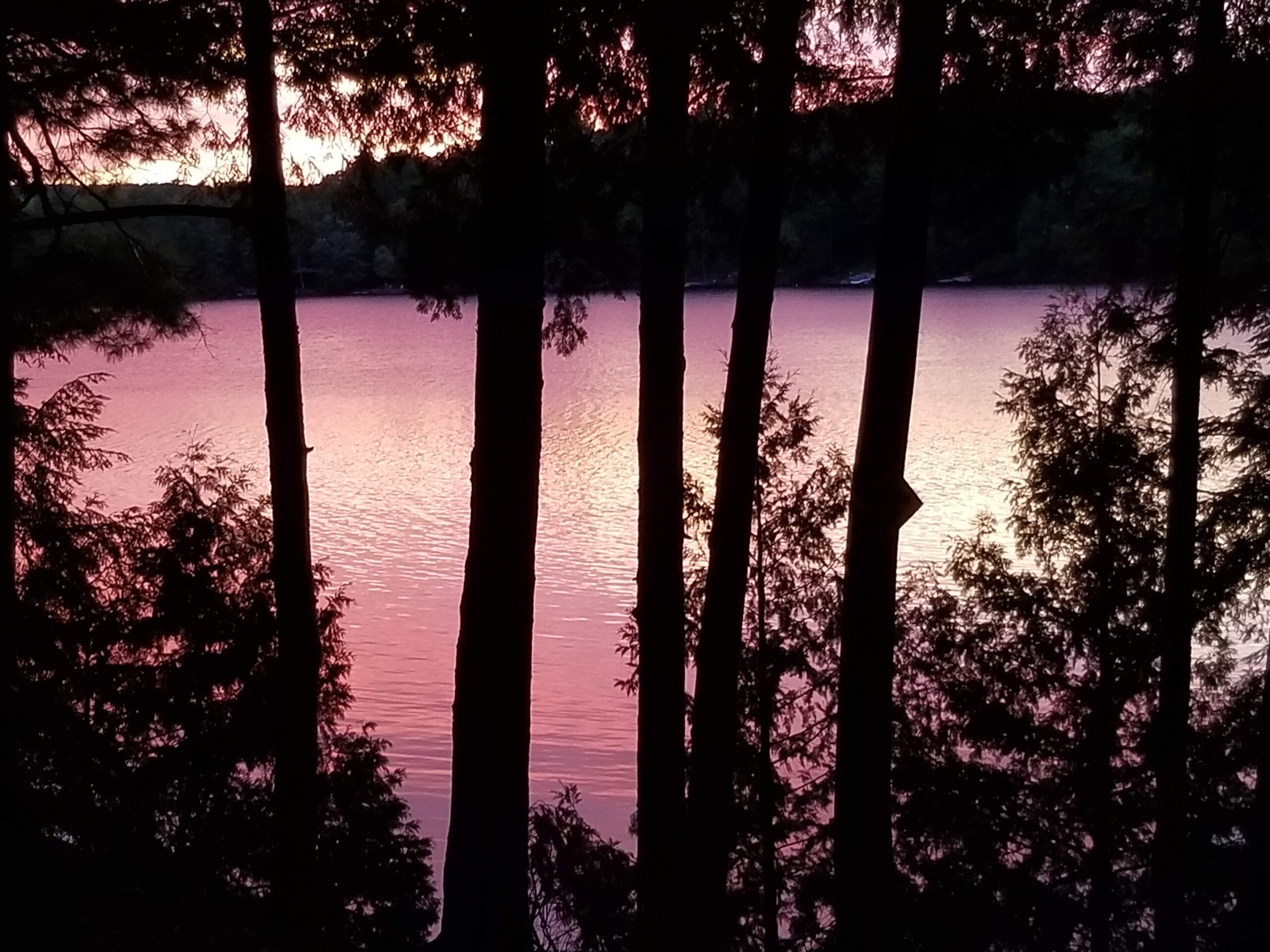
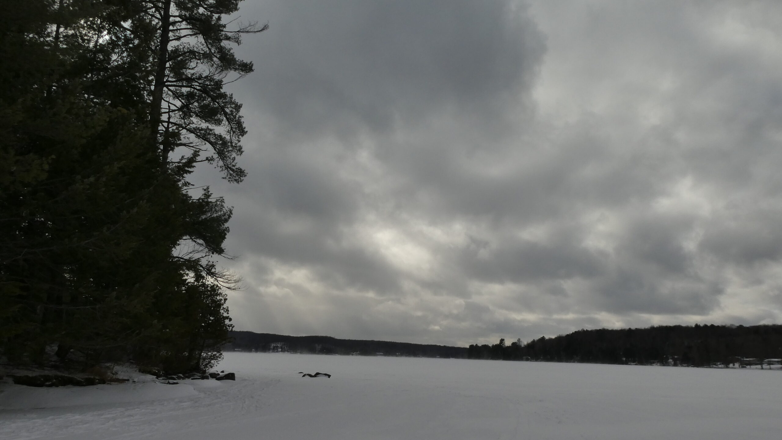
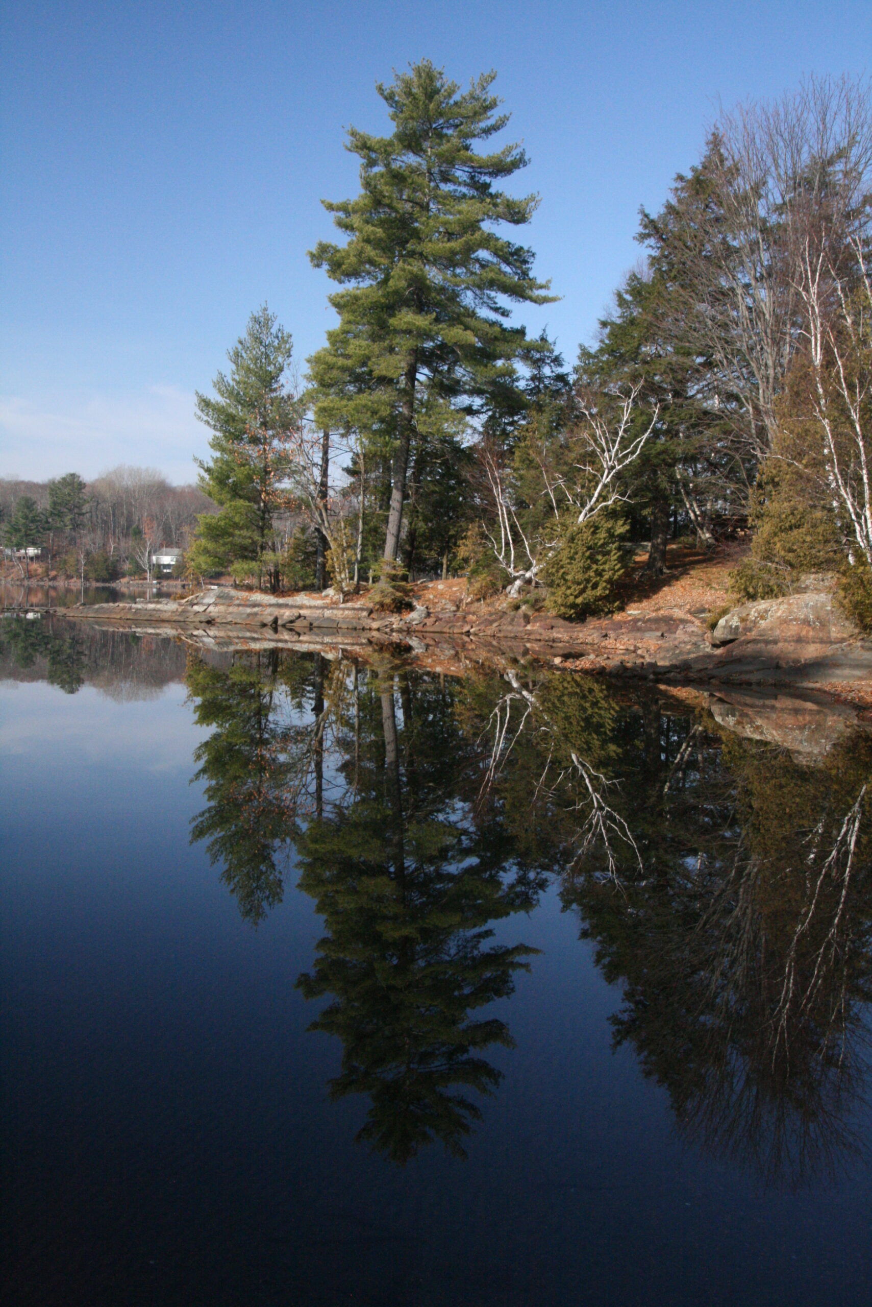
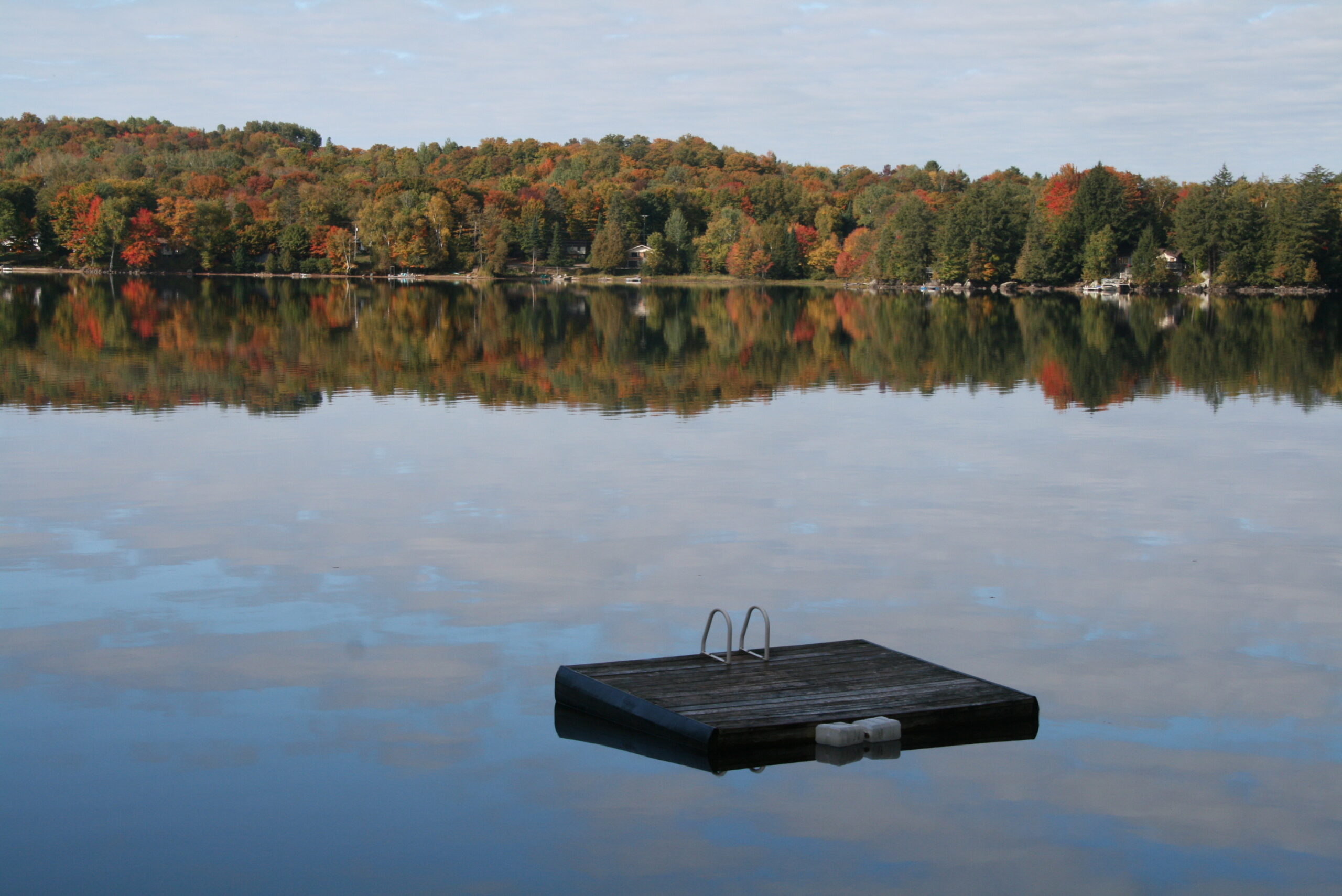
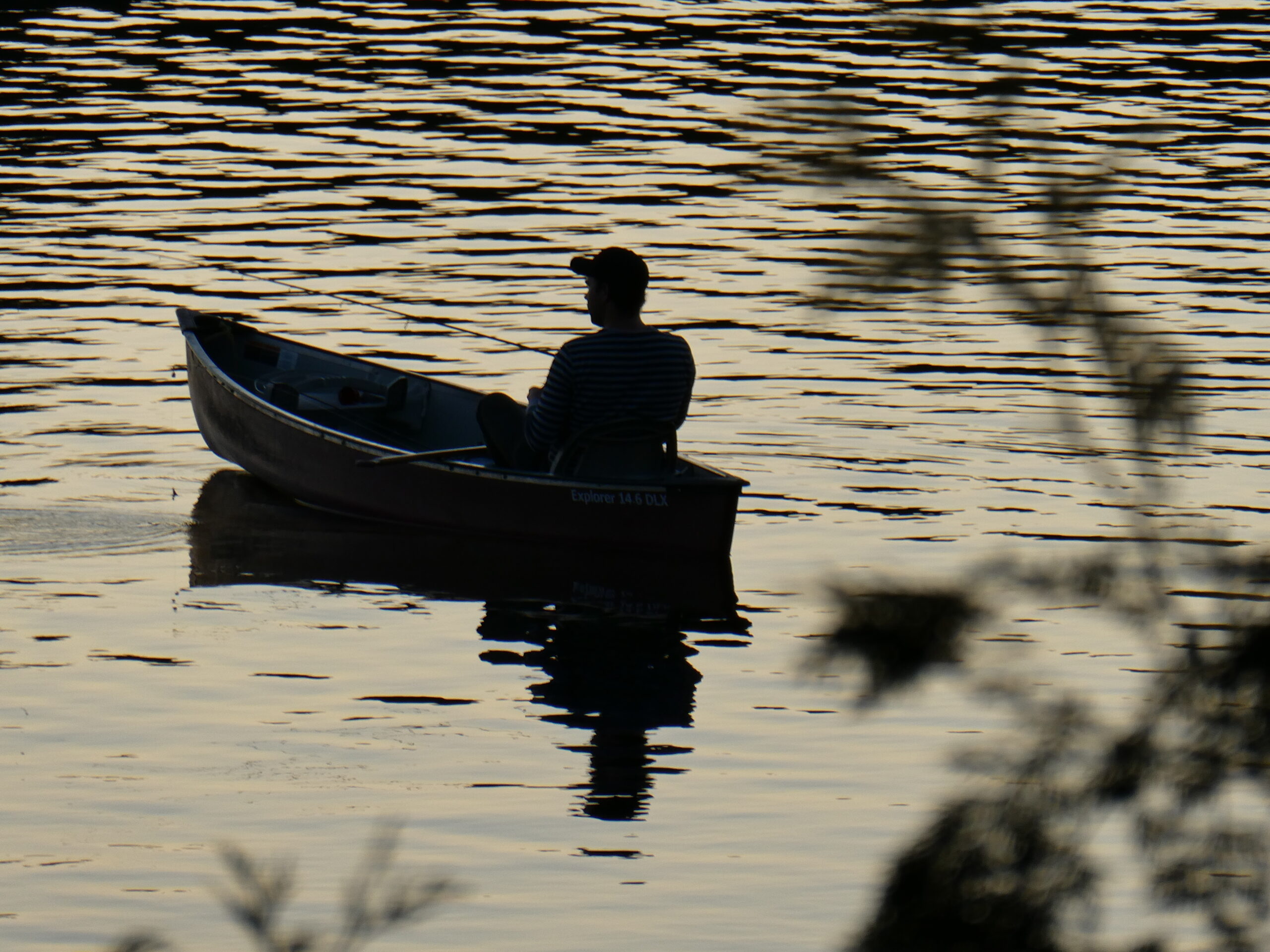
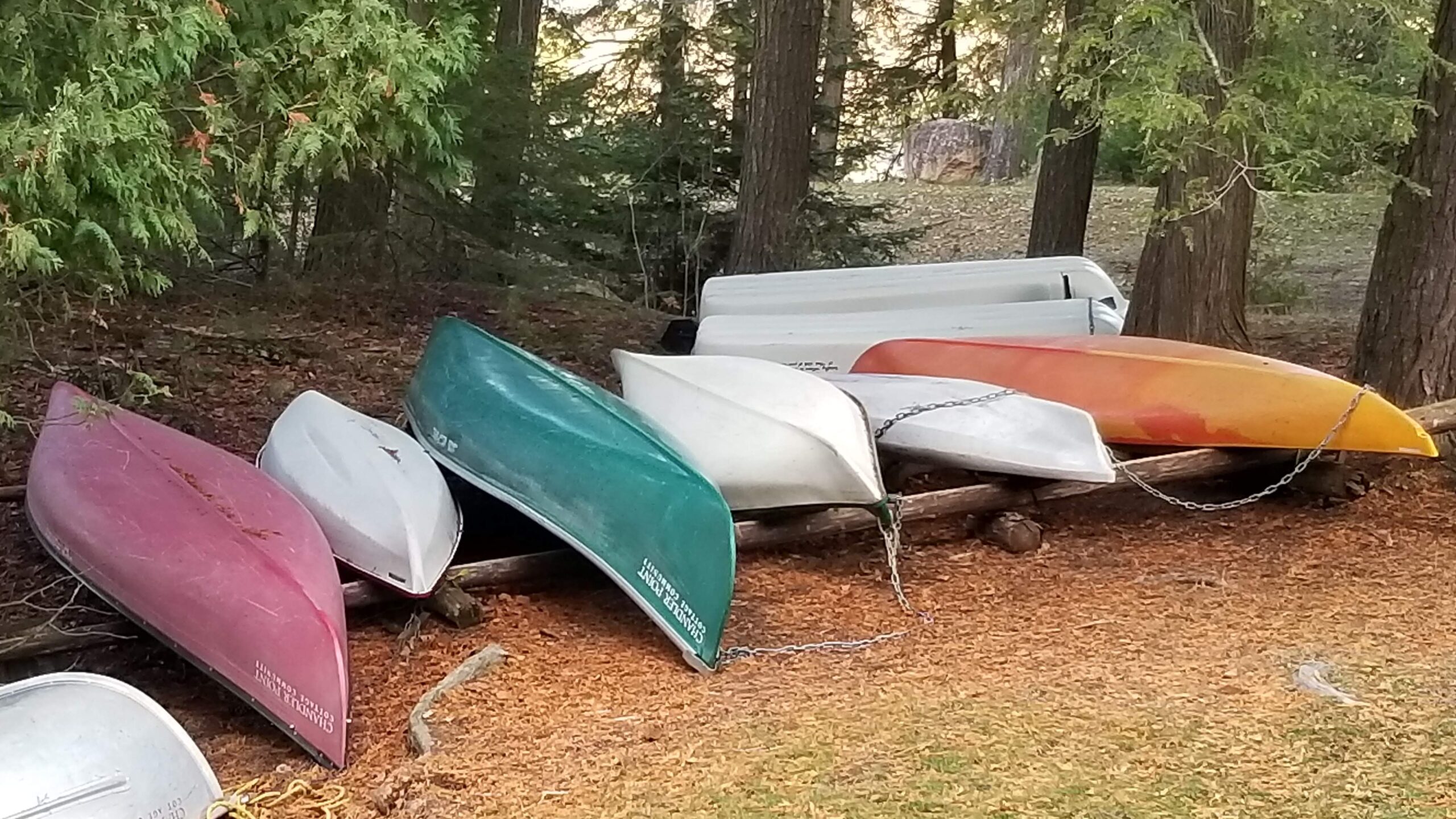
This gallery is all about our Chandler Point community members enjoying their time at the cottage. Please share any photos, drawings or paintings that you have been inspired to capture or create while you have been a Chandler Point. Hover over the gallery image below for an expanded view.
We are currently considering replacing the art that hangs on the walls of our cottages – this gallery could be a treasure trove! Or perhaps, you justwant to share a special memory in this gallery space. Send submissions to webkeeper@chandlerpointcottages.ca

Glen Simpson, 2013

Mary Anne Quance, 2021

Glen Simpson, 2018
Susan Taylor, 2022
Susan Taylor, 2019

Glen Simpson, 2012
Glen Simpson, 2016
Glen Simpson, 2012
Susan Taylor, 2018
Susan Taylor, 2020
Susan Taylor, 2019
Glen Simpson, 2016

Glen Simpson, 2016

Mary Anne Quance, 2021

Glen Simpson, 2016

Glen Simpson, 2013

Glen Simpson, 2012

Glen Simpson, 2013
Glen Simpson, 2013

Susan Taylor, 2014
Contact Us
This website is a work-in-progress and your help is needed to make it as complete as possible. Please contact us if you have additional information, photographs, corrections or resources. If you have an interest in a relevant topic and would like it shared with a broader audience – we really want to hear from you.
Send an email to webkeeper@chandlerpointcottages.ca or fill out the form. We will format your entries for inclusion on this website and acknowledge all your contributions.